Contents
I. Grave Threats for Egypt’s Existence and Serious Danger for China’s Expansion
II. Perspectives of the Strategic Alliance between Egypt & China
III. Two Chinese Military Bases in Egypt: One Million Chinese Military on African Soil
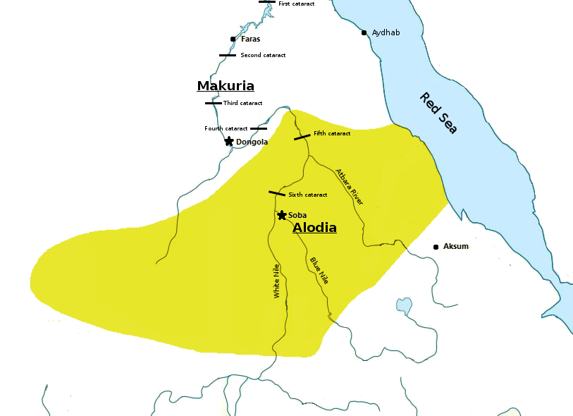
IV. Joint Chinese-Egyptian Military Operations in Sudan and the Perspectives of a Chinese-Egyptian-Sudanese Alliance
V. Joint Chinese-Egyptian Military Operations in Libya and the Perspectives of a Chinese-Egyptian-Libyan Alliance

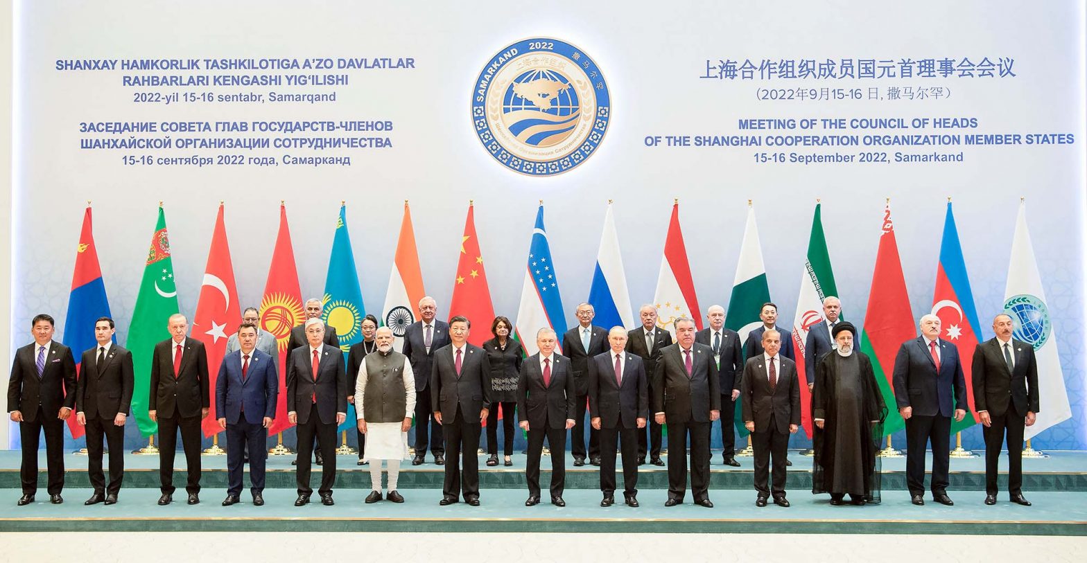
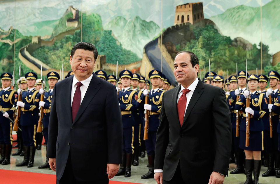
The Egyptian Foreign Minister Sameh Shoukry and the Chinese Foreign Minister Wang Yi in al-Tahrir Palace, Cairo; 14 January 2024
I. Grave Threats for Egypt’s Existence and Serious Danger for China’s Expansion
The dimensions that the War in Gaza may have for China are even more alarming than those it has for Egypt; at worldwide level, the ongoing war, which has already lasted for 3 months, takes an absolutely different appearance. Its first, pre-occupying at the international level, element was attested with the early dispatch of the US-led naval force to the Eastern Mediterranean. The reasons mentioned as the eventual ‘pretext’ were all ridiculous lies; neither Israel needed the support ‘offered’ nor did Iran have the intention to straightforwardly attack Israel. Since the beginning of the Israeli military operations in Gaza, it was definitely and accurately known that Iran and its allies (a nebula of paramilitary forces in Lebanon, Syria, Iraq and Yemen) would undertake only a low-tension war of attrition against the Zionist state. What was then the real purpose of the multinational force that reached the Eastern Mediterranean?
Before answering this question, we have to also observe the progressive extension of the Gaza War into the wider Red Sea region. For this to happen, the thoughtless, purposeless, foolish or rather artfully induced Houthi attacks, as well as the ensuing maritime transportation security problems were hypocritically presented as the pretext. The dispatch of another US-led naval force, this time in the vast Red Sea, Gulf of Aden, and Arabian Sea regions, has -in geostrategic terms- the appearance of ‘cutting’ Asia from Africa. This consists in a direct threat to the combined interests of China, India and Russia.
What business is it of Washington to possibly care about that part of the world?
In reality, maritime transportation security is more central to Chinese interests than to American concerns. This fact underscores the concealed reality of the ridiculously called ‘Israel-Hamas War’; acting as a US puppet, the evidently and ferociously anti-Israeli, anti-Jewish, and anti-Zionist Benjamin Netanyahu first radicalized the Gazan Palestinians by promoting Hamas among them, second induced them to hit after the 9/11 example, third allowed them to calmly and without opposition carry out the 7 October 2023 attacks, and fourth declared war against the Gazans in order to subtly bring the US naval forces in.
And why does Netanyahu want the war to last long? Every day, the Netanyahu government sends coffins with the dead bodies of soldiers to their families. Does he really care? Does he believe that Israel’s embattled army will eliminate Palestinian resistance? No! These topics are insignificant to the devilish, pro-Anglo-Saxon, much wanted gangster Netanyahu. The fake state of Israel is a burned card for him; he duly and fully utilizes that structure only for the benefit of the US world dominance.
This must be the Chinese conclusion of the theatrical act named ‘Gaza War 2023’. Beijing must therefore react and prepare the total demolition of America and the disappearance of every Anglo-Saxon impact from the world; this can certainly be done without a nuclear war. The first step will be a strongly and gradually built, sizeable Chinese military presence on the Black Continent; this will start with a Special Military Alliance between China and Egypt.
In the first of this series of articles, I expanded on a) the centuries-old Western hatred of Egypt, b) the existing historical threats against the Valley of the Nile, c) the gradual process of decomposition that the criminal Western gangsters applied to Libya and the Sudan over the past 12 years, and d) the direct relationship between the otherwise worthless Renaissance Dam (also known as GERD), which has been built in the Occupied Benishangul land (currently province) of Abyssinia (Fake Ethiopia), and the Abyssinian ‘Prophecy’ against Egypt and Sudan. This is the link:
In the second of this series of articles, I completed the presentation of the Egyptian approach to the need of the Egyptian-Chinese Military Alliance and expanded on the Chinese perspective towards the topic; more specifically, I first presented the war in Gaza and the destabilization of the Red Sea Region as a very serious issue for Egypt; then, I overviewed the historical background of the rise of China as a world super-power; at last, I duly highlighted the irrevocable prerequisites of China’s worldwide predominance. As a matter of fact, I intentionally presented China’s most demanded military presence in Africa as the sixth (: last) prerequisite; this means that there are several other spheres of activities in which China must deploy an unprecedented, systematic and long-term effort first. This is the link:

President El-Sisi & Chinese Foreign Minister Qin Gang, Cairo; 15 January 2023

Xi Jinping in Cairo, 2016
Abdelfattah el-Sisi in Beijing, 2014
II. Perspectives of the Strategic Alliance between Egypt & China
A special military alliance between Beijing and Cairo will be advantageous and fruitful for both countries only if it is considered as integral part of a strategic alliance between the two countries. The brotherhood of the two nations must be viewed from both sides as unique in their diachronic existence.
For Egypt, it must herald the irrevocable termination of all the problems that the modern state of Masr (under khedivial, royal and republican rule) has faced since 1798 and the definite cancellation of all the lasting dangers to which Cairo has been exposed. The strategic alliance with China must be the practical remake of Ancient Egypt and the comeback of its unparalleled radiation across Africa. Thanks to this groundbreaking change, Egypt will become the most influential African power in terms of Pan-African identity, Hamitic-Cushitic cultural integrity, Afrocentric educational revival, academic-scientific de-Westernization, resourceful reassessment of natural resources utilization, infrastructure and urban development, urban relocation and reconstruction, agricultural re-organization, technological and military readjustment and social overhaul.
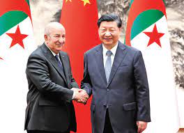
For China, it must be the beginning of the next stage of China’s expansion and rise to world superpower status; it will function as Beijing’s Gate to Africa, because the success story of the Chinese-Egyptian strategic alliance will later serve as model for further/similar bilateral agreements and alliances, notably with Algeria, Nigeria, Mali, Ethiopia, Somalia, Tanzania, Congo, etc. A group of ca. 1000 Chinese specialists on Egypt will have to envision how to efficiently, comprehensively and promptly transform Egypt after the Chinese model. In fact, they should have to function as a second government of Egypt – not in terms of decision-making but in respect of out-of-the-box thinking, envisioning stages of Egypt’s transformation and transmutation, suggesting them to the national government in Cairo, and after the local approval, coordinating with the respective authorities in Beijing as to how to kick off the projects.
A great number of projects in every field should therefore be identified, planned, discussed with the respective Egyptian administrative, military, academic or entrepreneurial teams, and then implemented. In the way the country functions and operates, Egypt will thus gradually be transformed into a small African China.
For all the other African countries, the successful launching of the Chinese-Egyptian strategic alliance will herald
i) the definitive removal of the obsolete, colonial practices, structures and concepts;
ii) the eradication of the ensuing corruption;
iii) the elimination of potential threats of war, persecution, oppression or genocide;
iv) the termination of the Western techniques of dependence and subordination of former colonies;
v) the final withdrawal of American, English, French and other Western military bases, troops, advisers, and diplomatic personnel; and
vi) the irrevocable cancellation of
a) the colonially imposed Western pedagogical-educational-academic system;
b) all the bilateral agreements between African countries and the major colonial states in the sectors of Education, Academic Research, Scientific Cooperation, and Cultural Exchanges;
c) the racist Western narrative, the Eurocentric bogus-historical dogma, the fallacy of the Judeo-Christian civilization, and the falsehood of Greco-Roman civilization;
d) the replacement of the Western archaeological schools and institutes with Chinese, Russian, Indian, Japanese, Iranian and Turkish specialists;
e) the end of French and English as foreign languages across Africa; and
f) the prohibition of Western missionaries to move and proselytize on African soil.

III. Two Chinese Military Bases in Egypt: One Million Chinese Military on African Soil
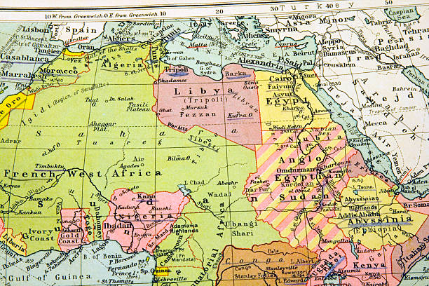
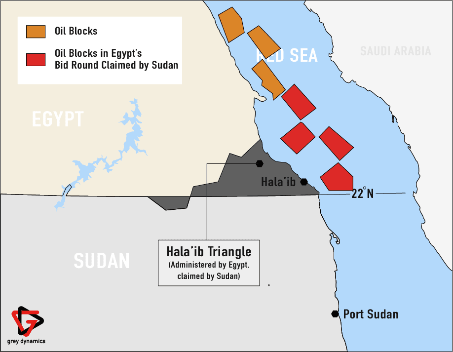
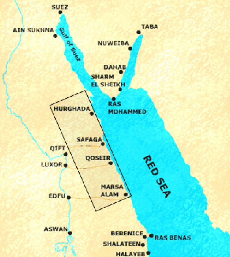
For major changes to be initiated in Egypt, Cairo should offer (in terms of a 99-year lease) two sizeable military footholds to China, one in the country’s NW confines, nearby the Mediterranean coast between Mersa Matruh and El Salloum, and another in Egypt’s SE extremities, in the Red Sea Governorate, between Ras Banas and Bi’r Shalatayn (or Shalateen), outside the Halaib Triangle. Each military base should cover an area of approximately 5000 km2.
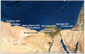
Mersa Matruh and El Salloum
The military installations should comprise several independent sectors and involve parallel activities; more specifically,
– a first sector shall be established as proper military base with an airfield and a military port, including various Chinese airborne and special operations units, division headquarters, command center, training ground, proving ground, and a great number of properly selected brigades and regiments. The scope of this sector shall be the training of the Chinese Army of Africa, the accommodation of personnel, the storage of equipment, and the facilitation of operations throughout the Black Continent.
– a second sector shall shelter specially established Chinese and Egyptian units and be utilized for the training of the Egyptian army in the Chinese method of war, army organization, martial arts, language, and warrior spirit. All the different units of the Egyptian Army, involving armored corps, the artillery corps, the airborne corps, the infantry/mechanized forces, the special forces, etc. will be rotating in the sector. The end target shall be the complete sinicization of the Egyptian armed forces. Amongst others, here will be planned (and subsequently implemented) the total and complete replacement of the equipment of the Egyptian Army with the respective Chinese material at all levels. The program will be rolled out across all the agencies and the departments of the Egyptian Ministry of Defense. All the Chinese military officers, army employees, specialists, soldiers and auxiliaries, who will be dispatched there, will have as task to fully transform the Egyptian Army after the Chinese model.
– a third sector shall accommodates the headquarters of the local annexes of the People’s Liberation Army (PLA) National Defense University, the National University of Defense Technology (中国人民解放军国防科学技术大学), the PLA Information Engineering University, and the Army Command College of the Chinese People’s Liberation Army. Coordinating with the Egyptian Military Academy and Egypt’s Chief of Staff, and acting under the auspices of the Supreme Commander of the Armed Forces (namely the President of Egypt) and the Commander-in-Chief of the Armed Forces (i.e. the Minister of Defense), all the local annexes of the above mentioned Chinese institutions shall produce the military officers of Egypt’s entirely new army, which will gradually supersede and replace the present one.
– last, a fourth sector shall function as a military industrial zone; a great number of Chinese defense manufacturing and defense technology companies will therefore be authorized to found subsidiaries and establish local manufacturing plants. Chinese and Egyptian personnel will staff the joint ventures which will cover local and regional needs, thus not only covering all the needs of Egypt in terms of military equipment but also contributing to Egypt’s exports.
The scope of the special military alliance between China and Egypt will be groundbreaking enough to totally transform the Egyptian state’s structures of colonial dependence that has lasted more than 200 years. The two military bases will be able to accommodate about one million Chinese personnel and a corresponding number of Egyptians. The very early stages of the alliance will also comprise of several military operations outside the borders of Egypt for the benefit of both countries and the promotion of the common geopolitical goals. The need for them may be urgent for both, Egypt and China.
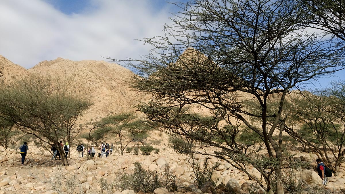

Halaib Triangle landscapes
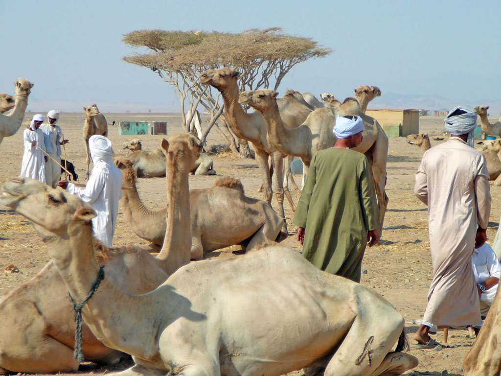
Egypt’s Red Sea coast

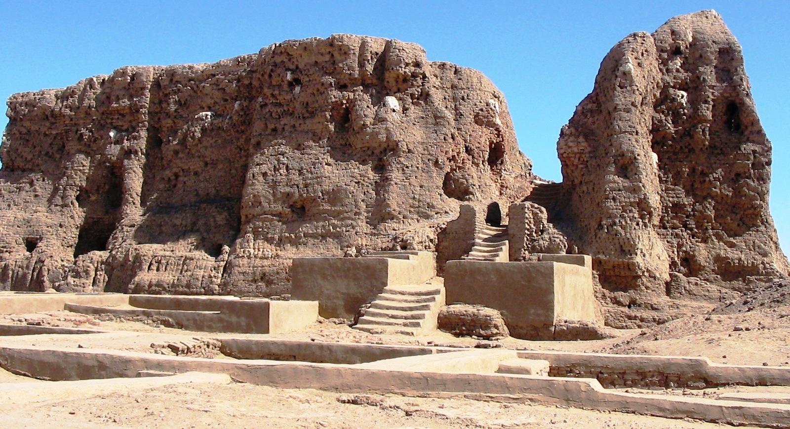
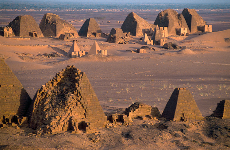
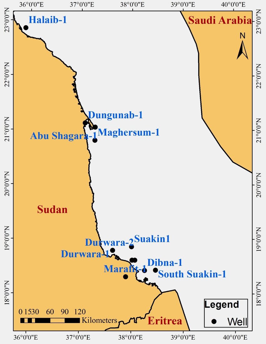
Sudan’s Red Sea coast
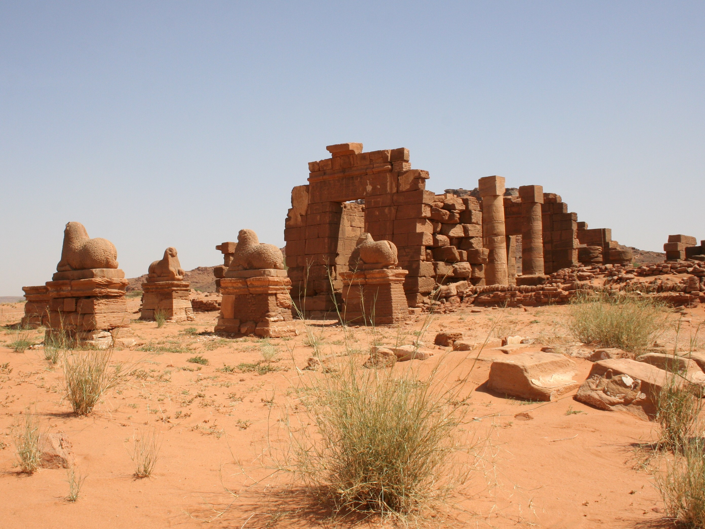
IV. Joint Chinese-Egyptian Military Operations in Sudan and the Perspectives of a Chinese-Egyptian-Sudanese Alliance
To prepare for a major socio-economic and political overhaul, which is most needed, Egypt has to secure its backyard; this definitely means that the chaotic conditions, which currently prevail in Sudan and Libya, must be terminated once for all. While the fall of Gadhafi in 2011 did not have significant repercussions on Egypt, the present situation in Sudan is very alarming.
Cairo managed to establish a form of cooperation with the Libyan strongman and commander of the Tobruk-based Libyan National Army (LNA) Khalifa Haftar (born in 1943), but the existence of Darfur’s butcher Mohamed Hamdan Dagalo (also known as Hemedti; born in 1974), his disastrous, treacherous and criminal acts in Sudan, his divisive stance, his contribution to the ongoing civil war, and -even worse- his connections with states that are openly inimical to Egypt, notably the colonial tyranny of Abyssinia (Fake Ethiopia), consist in a lethal threat for the Egyptian people and government. Background:
https://apnews.com/article/south-africa-sudan-ramaphosa-dagalo-f27d6d524a828b5a95ed1caa6447c7c3
https://sudantribune.com/article280972/
https://sudantribune.com/article281181/
https://en.wikipedia.org/wiki/Abdel_Fattah_al-Burhan
https://en.wikipedia.org/wiki/Hemedti
The following three links reveal the falsehood, the bias, and the anti-Egyptian hatred spread by the disreputable criminals of al Jazeera, which should be closed down one way or another:

Abdel Fattah al-Burhan, 2019

Janjaweed gangster Mohamed Hamdan Dagalo (Hemedti), 2022
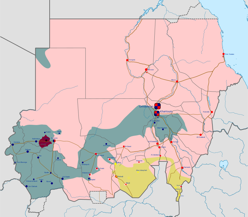
The Civil War in Sudan as of January 2024; in pink color the areas under control by the Sudanese government and Chairman Abdel Fattah al-Burhan
Egypt must support energetically and drastically Abdel Fattah al-Burhan (born in 1960), Chairman of the Transitional Sovereignty Council and de facto ruler of Sudan, who faces a rebellion actively fueled from abroad and systematically supported by the Neo-Nazi cholera of England, the notorious MI6 outfit named Qatar, and their pseudo-Muslim agents and bribed lackeys. Without a strong ally, Cairo cannot send 300000 soldiers in Sudan in order to effectively remove the Dagalo plague, terminate the killings that he causes across the unfortunate and targeted country, and avert the threat that he represents.
What is even worse is the condition of the transportation infrastructure in the regions around the Egyptian-Sudanese border, and in general throughout Sudan. There is no highway road running either in the Valley of the Nile (from Aswan and Abu Simbel to Wadi Halfa, Dongola, and thence to Khartoum) or alongside the Red Sea coastline (from Mersa Alam, Ras Banas, Shalatayn, Halaib, Dungunab, Port Sudan).
Similarly, there is no railway connection between Egypt and Sudan. This was deceitfully prescribed to their colonial subjects by the English colonials when they ruled those lands; although there was a railway connection between Cairo and Aswan (860 km; it reached Aswan only in 1898) and despite the fact that Wadi Halfa was connected with Abu Hamad, Atbara and Khartoum (350+244+313: 907 km; it was all built in the period 1897-1900, with a 475 km extension from Atbara to Port Sudan which was constructed between 1904 and 1906), there was never a railway between Aswan and Wadi Halfa, i.e. a distance of ca. 320 km. In other words, in 15 years (1890-1906), the English built in Egypt and Sudan railways that were ca. 2000 km long, but they ‘could’ not construct a small section of just 300 km! This simple observation reveals the malignant intentions of the colonial rulers quite well.
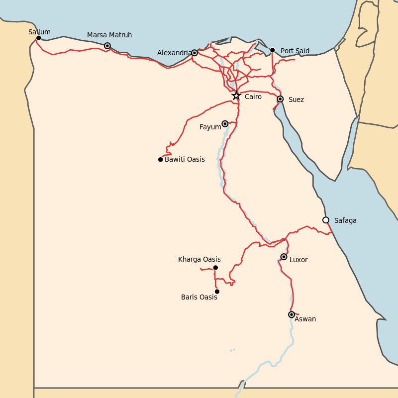
Egyptian national railways
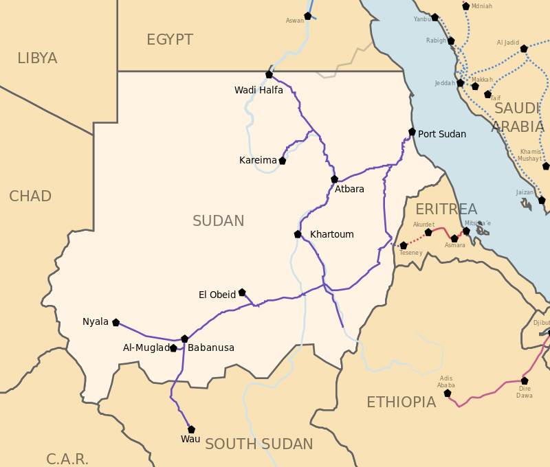
Sudan railways
The Chinese-Egyptian military intervention in Sudan should not end with the consolidation of Abdel Fattah al-Burhan as the new president of the country and with the elimination of the Dagalo forces. After the Janjaweed bloodthirsty gangsters are extradited to the International Criminal Court for crimes against the Mankind in Darfur and generally across the country, the leadership of Sudan, Egypt and China must launch multilayered negotiations, involving governmental, entrepreneurial, military, and academic-educational authorities, in order to both, reconstruct Sudan from scratch and fully interconnect the vast country with Egypt and China.
Two highways and two railways have to link the two countries through both, the Valley of the Nile and the Red Sea coastland. In addition, two Chinese high speed railways have to be launched in order to link the first, Khartoum to Dongola, Abu Simbel, Nag Hammadi, Cairo, Alexandria, Mersa Matruh and El Salloum (in the Mediterranean coast nearby the Libyan borders), and the second, Khartoum to Atbara, Port Sudan, Shalatayn, Mersa Alam, Hurgada, Suez and Cairo.
China and Sudan shall sign agreements similar to those co-signed by Beijing and Cairo (as per above Part III), and Khartoum shall offer (in terms of a 99-year lease) two sizeable military footholds to China, the first in the Red Sea coastland south of Suakin and north of Tokar, and the second in the North Darfur province (the official term is ‘state’) of Sudan, north of El Fashir, the provincial capital.
Tokar: southernmost confines of Sudan’s Red Sea coast lands
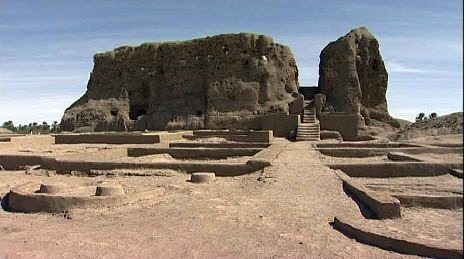
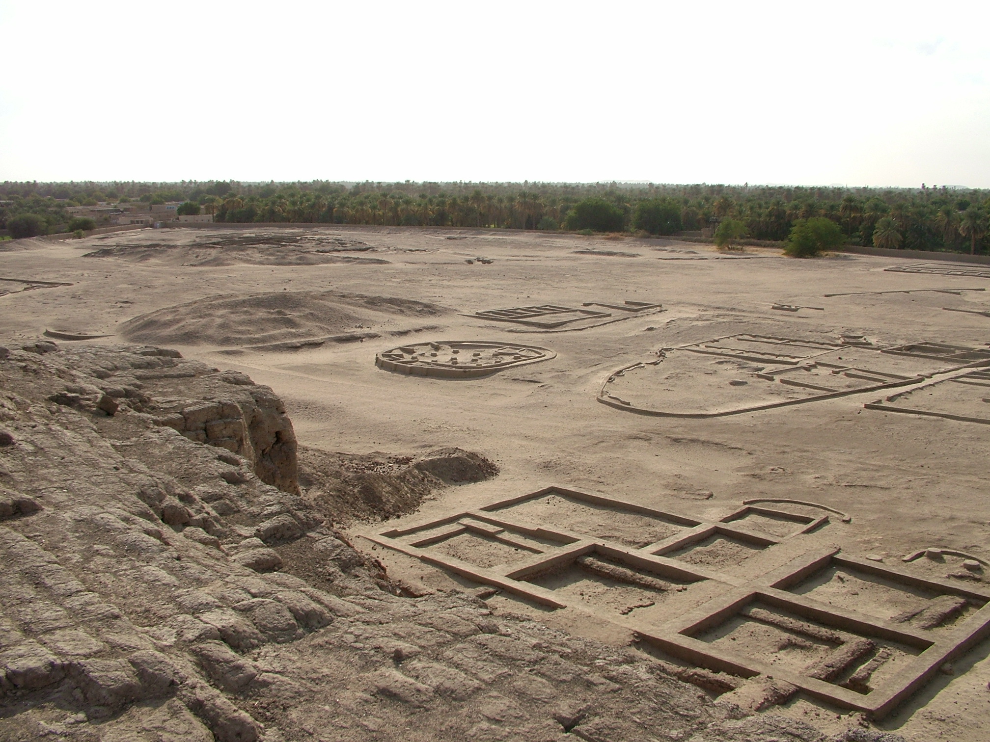
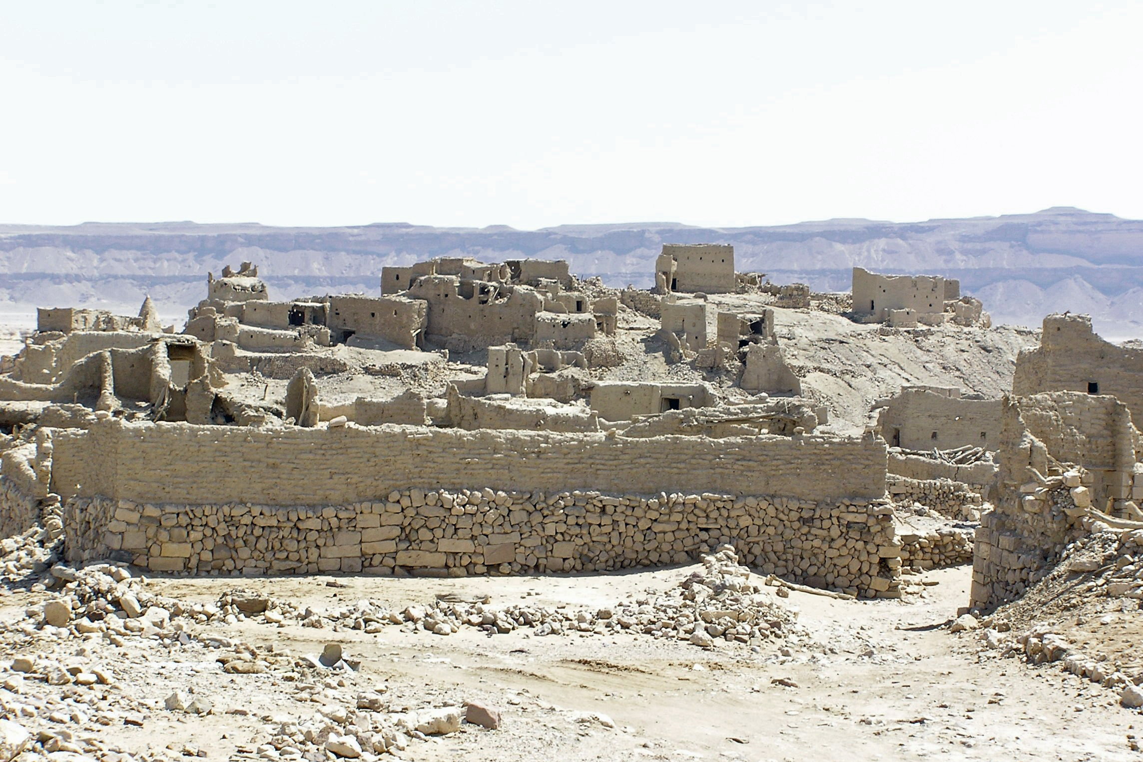
Al-Fashir, capital of Darfur North
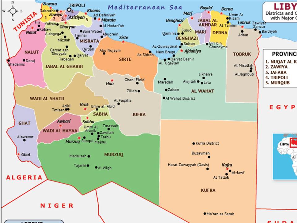
V. Joint Chinese-Egyptian Military Operations in Libya and the Perspectives of a Chinese-Egyptian-Libyan Alliance
Having averted the prevalence of chaos in Sudan and having established a tripartite partnership in the South, Egypt will definitely have to put an end to the disastrous conditions of division, conflict and tribalism that have prevailed in Libya over the past 13 years.
Following an early agreement with Khalifa Haftar, who was appointed (2015) commander of the armed forces loyal to the Libyan House of Representatives, units of the Egyptian and the (based-in Egypt) Chinese armies shall enter Libya and fight alongside with units of the LNA to eradicate the unrepresentative, shadowy, Tripoli-based governmental structure, which has become the tool of the destructive colonial English policies in North Africa. Entering in an agreement with Brigadier General Saddam Haftar and his father, the Chinese and the Egyptians will be able to soon help consolidate Libya and bring the country closer to the Egyptian-Sudanese tandem.
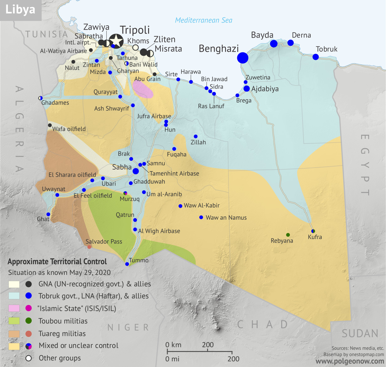
Libya, May 2020
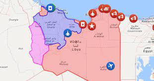
Libya 2024
Eliminating Islamist and Wahhabi thugs from the Libyan South (notably the Kufra and Murzuq districts) and striking a deal with Tuareg militias of Ghat in Libya’s southwestern extremities, the new national government will have to manage to reestablish peace, civil order, and proper national statehood at last. With the help of China and Egypt, Libya will finally be able to move out of the colonial conditions in which the country was engulfed for too long. Background:
https://en.wikipedia.org/wiki/Kufra_District
https://en.wikipedia.org/wiki/Murzuq_District
https://en.wikipedia.org/wiki/Ghat_District
https://en.wikipedia.org/wiki/Tuareg_militias_of_Ghat
https://en.wikipedia.org/wiki/Districts_of_Libya
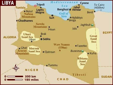
Setting the sound foundations of a long-term, non-colonial, multilateral partnership, China, Egypt and Libya shall address issues that date back to the times of colonial divisions and exploitation. Two highways and two railways have to link the Valley of the Nile with Libya, the first alongside the Mediterranean Sea coastline and the second through the desert; from Alexandria, Mersa Matruh, and El Salloum to Tobruk, Benghazi, Sirte, Misrata, Tripoli and Zuwara (near the Tunisian border), the construction of a highway and a railway will surely help exponentially increase the interconnection, interdependence and interoperability of the two countries, thus opening a new era of local, regional and worldwide cooperation. Similarly, the construction of a highway and a railway connecting Luxor, Nag Hammadi, Kharga Oasis, and Dakhla Oasis to Kufra, Murzuq, Sabha, Hun and Sirte will effectively contribute to the same goal, bringing together Egypt’s South and Libya’s South, while also lessening the distance between Libya’s southern extremities and the major cities on the coastline.
Furthermore, China and Libya shall sign agreements similar to those co-signed by Beijing and Khartoum (as per above); according to the terms, Tripoli, as the capital of a reunified Libya, shall offer (in terms of a 99-year lease) two sizeable military footholds to China, the first in the Mediterranean coastland west of Tripoli and the second in the country’s southwestern extremities, namely in Ghat District (Fezzan region).


—————————————
Download the article (text only) in PDF:
Download the article (text, pictures and legends) in PDF: